Image Gallery
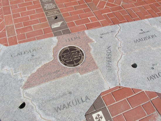
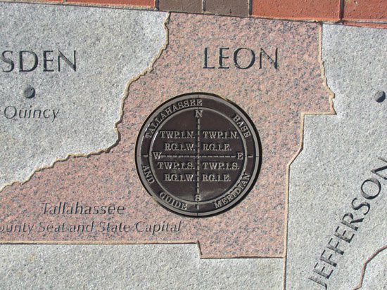
Prime Meridian
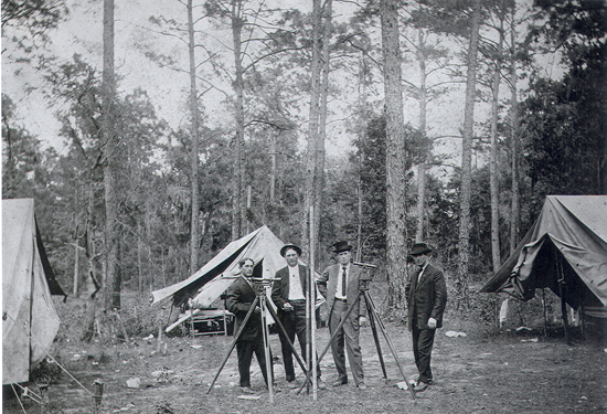
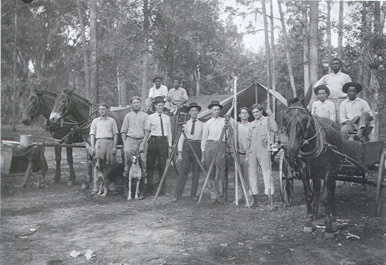
Historical
Other